Guides and White Papers

Welcome to Polimapper’s comprehensive collection of Guides and White Papers. Here, you’ll find in-depth analyses and insights into the intricate layers of the UK’s political and administrative landscape.

Our resources are designed to help you navigate the complexities of electoral geography, understand the nuances of local governance, and explore how data driven narratives can shape your stakeholder engagement.

Starting out with geo-advocacy

In this guide we cover:

  • What is geo-advocacy?
  • The best sources of public data for geo-advocacy
  • The methods you can use to adapt data to fit parliamentary constituencies

The guide is essential reading for anyone working in public affairs.

The Party Conference Playbook

In the party conference playbook we explore how constituency data drives outcomes:

  • Why the party conference season remains important
  • Why constituency profiles work
  • How Polimapper has helped organisations enhance their outreach

Flattening the Tiers

Flattening the Tiers is a comprehensive guide to local government changes.

We’ve created an area-by-area guide to all the proposals submitted by councils as part of English Devolution

The Class of 24

In this White Paper, you will learn about:

  • The demographics of the Class of 24, including gender, race and education.
  • The importance of a local connection to selection

Census 2021

Released every 10 years, the census provides a detailed snapshot of society. The census covers a wide range of topics including demography, health, housing and education.

Geography Guide

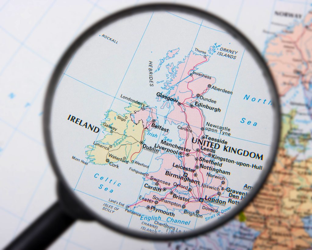
The political and administrative geography of the UK is complex and varied. Built up over centuries and constantly evolving, areas of the UK are divided up differently for elections, local government, the NHS and a range of other administrative reasons.

In this guide, learn more about the UK’s political and administrative geographies